")
")
")
")
")
The slopes of Łopień belong to six towns: Dobra, Podłopień, Tymbark, Słopnice, Chyszówki and Jurków. The border between three communes runs through it: Dobra, Tymbark and Słopnice. In the past, Łopień was also divided into Łopień Dobrski and Łopień Tymbarski
Lopień Glades
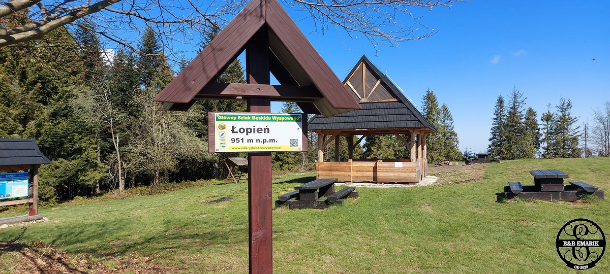
Łopień is almost completely covered with forest. In the past, however, its entire ridge from the western to the eastern tip was one huge pasture where pastoral life was vibrant. There were huts on it, of which there is no trace now. After this pasture, there are still four clearings on the ridge: Cechówka, Jaworze, Myconiówka and Zawadówka, from which panoramic views can be seen.
Tourism and Recreation
Three marked hiking trails and a bicycle trail lead through Łopień. In addition, at the south-eastern foot of Łopień in Słopnice, the educational path "Czarna Rzeki Gorge" has been marked. Glades Jaworze and Myconiówka are good camping places. Right on the western side of the highest peak (961 m) there is a small clearing of Widny Zrąbek with a rock outcrop, which is an excellent vantage point.


